New satellite data reveals that large portions of the United States’ biggest cities are slowly sinking, putting millions at risk. The findings show that 34 million people live in areas where the ground is gradually moving downward.
Researchers examined vertical land movement in 28 of the country’s most populous cities, each with more than 600,000 residents. Using high-resolution data from the European Space Agency’s Sentinel-1 satellites, they created detailed maps showing where and how fast land is sinking.
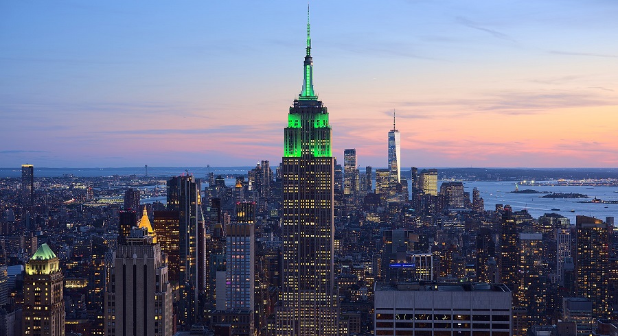
In every city studied, at least 20% of the urban area showed signs of subsidence. In 25 cities, that figure rose above 65%. Ten cities, including Houston, Dallas, Fort Worth, New York, Chicago, and Detroit, had subsidence affecting 98% of their total area.
Houston topped the list as the fastest-sinking city. According to the study, 43% of Houston’s land is sinking by more than 0.2 inches per year, with 12% sinking at twice that rate. Dallas and Fort Worth also saw significant rates of ground loss, with over 70% of their areas dropping by at least 0.1 inches annually.

The causes of this slow-moving shift are both natural and man-made. In some areas, like New York and Nashville, the ground is still adjusting from the weight of massive glaciers that once covered the land thousands of years ago. But researchers say human activity is the driving force behind most of the subsidence.
U.S CITIES ARE COLLAPSING FROM BENEATH – AND TEXAS IS DROPPING LIKE A ROCK
A new study says cities all over the U.S are slowly sinking into the ground like a disaster movie in slo-mo – and Texas is going down the fastest.
Houston alone is sinking over 5mm a year, mostly… pic.twitter.com/M0V0CaBoTs
— Mario Nawfal (@MarioNawfal) May 8, 2025
About 80% of urban land sinking is tied to the extraction of groundwater. When large amounts of water are pumped from underground, the soil above can compress and collapse, causing the surface to sink. In places like Texas, oil and gas drilling adds to the strain.
“As cities continue to grow, we will see more cities expand into subsiding regions,” said Leonard Ohenhen, lead author of the study and a researcher at Columbia University’s Climate School. “Over time, this subsidence can produce stresses on infrastructure that will go past their safety limit.”
The study also warns that climate change could make the problem worse. Hotter temperatures are expected to bring longer droughts, increasing reliance on groundwater.
At the same time, extreme weather events are becoming more frequent and severe, raising the risk of flooding in low-lying areas.
Urban expansion adds another layer of concern. As populations rise, more people are living on unstable land. The study identified at least 29,000 buildings already located in areas facing a high risk of damage from ground movement.
To reduce the impact, researchers recommend stronger flood defenses, reinforcing vulnerable buildings, and limiting construction in high-risk zones. The goal, they said, is not only to recognize the danger, but to act on it.