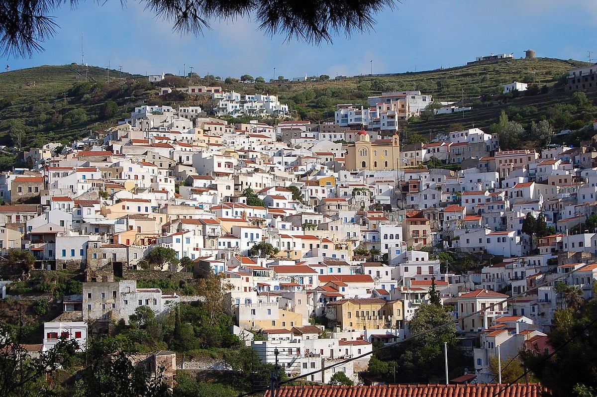
Greece’s Kea Island Rejects Luxury Resort
Categories:

A recent study suggests that high-altitude wind patterns played a crucial role in the collapse of the Minoan civilization by spreading volcanic ash and aerosols from the eruption of the Thera volcano, which in turn caused atmospheric effects impacting the region.
The research, by Dimitrios Ntokos of the National Technical University of Athens, offers new clues about the eruption’s timing and its widespread impact. The study is published in the journal Quaternary International.
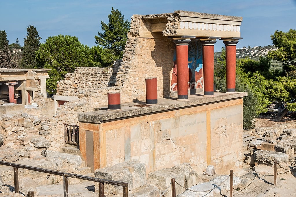
The Minoan eruption of Thera—modern-day Santorini—occurred during the Late Bronze Age, around 1600 B.C. It ranks among the most violent eruptions in human history, classified with a Volcanic Explosivity Index of 7. The ash that it spread has been found as far as Egypt, the Levant, and the Black Sea.
To better understand the environmental reach of the event, Ntokos applied a method called Kriging, used in geospatial science, to tephra, or volcanic ash, thickness data collected from both land and sea.
He then mapped how ash was distributed and used that to infer wind directions at different altitudes during the eruption. The patterns showed a split: stratospheric winds blew most ash northeast, while tropospheric winds pushed it southward.

The combination of these wind directions, the study argues, likely occurred in late spring. This detail led to the conclusion that the eruption happened in May, rather than in winter or late summer as previously assumed.
The findings not only pinpoint the season of the eruption but also show how the atmosphere shaped one of the ancient world’s worst disasters.
The study moves beyond the eruption itself. It also looks at how ash dispersal patterns may have disrupted agriculture, water systems, and political structures across multiple regions. These impacts, according to Ntokos, may have destabilized surrounding societies, possibly accelerating the decline of Minoan influence.

Wind played a critical role in this process. When magma exploded from the volcano, it shot a column of ash and gas into the sky, reaching heights of more than 30 kilometers.
At that altitude, wind conditions take over. Upper-level winds spread the ash cloud asymmetrically, sending fallout far beyond the Aegean Sea. The GIS-based model built by Ntokos simulates this reach, taking into account both the vertical lift and horizontal travel of ash.
Ash deposits weren’t even. Many sites likely saw secondary accumulation due to wind shifts, water, or redeposition over time.
To handle these inconsistencies, the study used ‘Kriging’ interpolation to fill in gaps where data was sparse or uneven. This statistical method allowed the researcher to estimate general trends without relying on isolated or misleading samples.
While earlier research focused on locations close to the volcano, this study extended the view across a much wider area. It also brought in comparisons from modern eruptions with similar magnitudes to validate the model.
Recent events, like the 2020 eruption of Taal in the Philippines, helped frame the kind of environmental and societal effects that ash dispersal can trigger, even in today’s world.

The study adds a new layer to ongoing efforts to understand the Minoan eruption. While the physical traces of the disaster are already well-documented, the atmospheric conditions that helped shape them were less clear.
Ntokos’ work clarifies that picture, showing how ancient wind systems helped carry ash across regions, destabilize communities, and alter the course of history.
By linking tephra deposits to wind mechanics, the study gives modern researchers a better tool for interpreting volcanic impacts. It also demonstrates the power of geospatial modeling in historical research, revealing how something as invisible as wind may have changed the fate of an entire civilization.